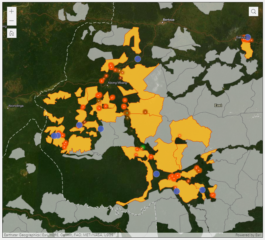
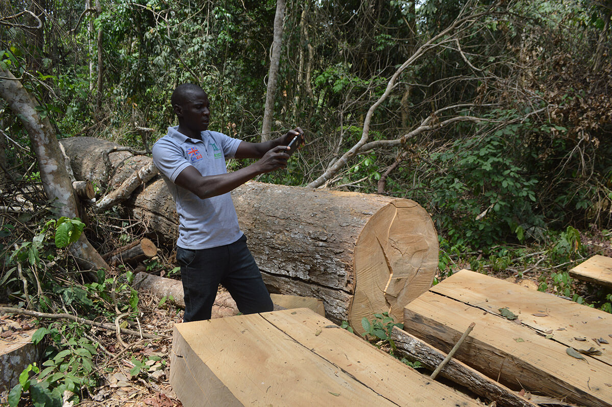
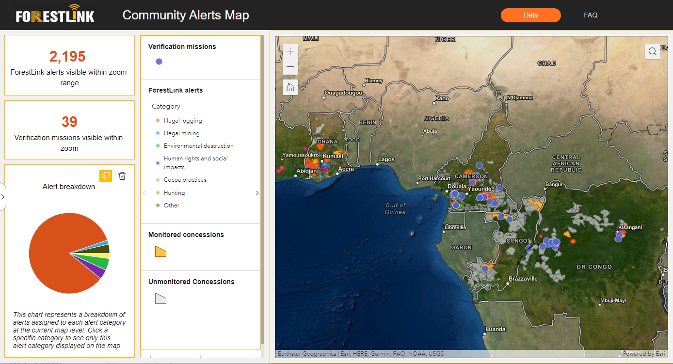
A map of Illegal forest alerts
The Community Alerts Map aggregates thousands of highly accurate and real-time alerts of illegal forest activities sent by local community monitors using ForestLink technology in Cameroon, the Republic of Congo, the Democratic Republic of Congo, Ghana, Liberia, Ivory Coast and Peru.
This first-of-a-kind database also allows easy access to information from field missions by civil society partners to verify facts on the ground, gather further evidence for law enforcement actions and to support local and national advocacy.

PROMOTING TRANSPARENCY
The Community Alerts Map aims to increase transparency and accountability in the governance of forests. Whereas satellite forest monitoring has transformed our ability to detect forest loss from afar, ForestLink unlocks the potential of communities on the ground to provide high quality and actionable information on the causes of forest loss and the type of illegal activity.
The tool can help law enforcement agencies to improve the detection of illegal logging as well as showing patterns of non-enforcement – for example where lack of follow-up from officials on community alerts may be evidence of collusion with illegal loggers or simply a lack of resources at their disposal.
A LOW-COST SCALABLE SOLUTION
A recent analysis in Cameroon found that ForestLink costs only £2.75 per hectare per year to run, and this figure is likely to come down further as the system expands. This compares very favorably to other tropical forest protection schemes such as strictly protected areas or REDD+ programmes. The system also has the potential to be self-sustaining such as through the sale of illegal timber seizures or even as a payment for eco-system services tool.


